
The Waterfalls Project
A Rocky Mountain National Park Tribute
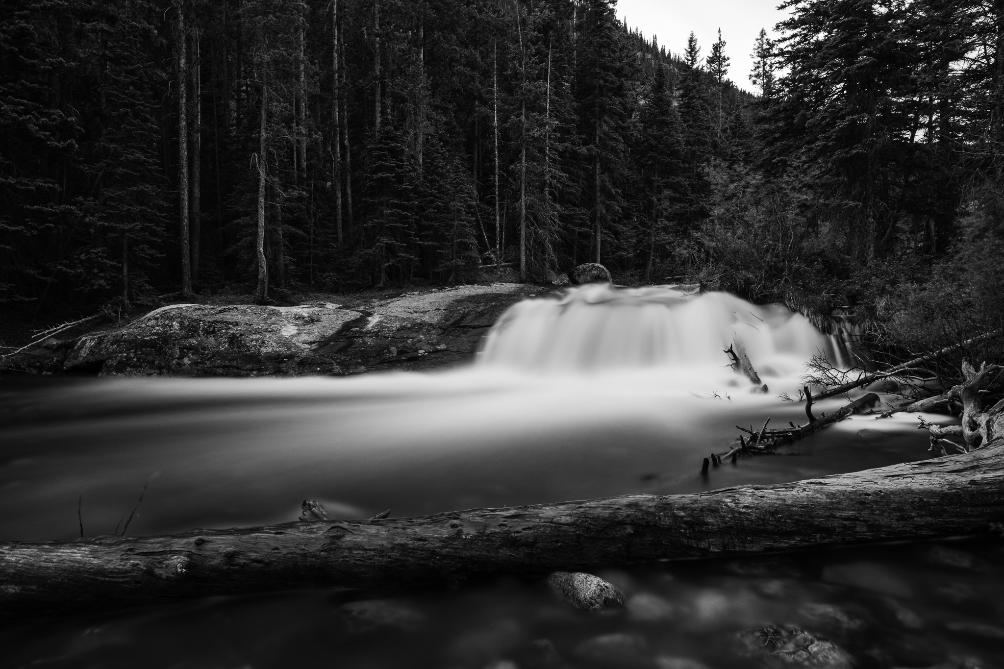
For as along as I have been visiting Rocky Mountain National Park, the system of rivers and creeks that have carved the landscape and created some of the most interesting features of the park just fascinates me. All the snow and glaciers that feed water to numerous lakes and streams is an amazing ecological process that is threatened by climate change and some day these processes might not exist in this park. My goal with this project is to photographically document in an artistic style the major, minor, and un-named falls with-in Rocky Mountain National Park in hopes of preserving these for future generations.
Below are the current images I have finished with many more coming as I get out and explore the park more. Always be on the look out for more as I post them to my Instagram
Timberline Falls
Timberline Falls is an impressive waterfall feature at 10,700ft asl on the way to Sky Pond along the Glacier Gorge Trail. Feeding water to the falls is from glaciers and snow melt in early summer as well as Sky Pond and Lake of Glass which sits just above this. Most hikers mistake Lake of Glass for Sky Pond and never go further.
Alberta Falls
Nestled along the Glacier Gorge Trail in the Bear Lake Corridor is this magnificent falls that has to be the second most popular and known falls in Rocky Mountain National Park due to the accessible and easy to moderate trail leading up to it. Long ago when I first started exploring RMNP, this was the second falls I visited after The Alluvial Fan and where I really started to love these water features. My original piece called “On the Heals of Winter” was taken during a rather warm and dry December that had yet to see any snow circa 2013.
Alberta Falls directs Glacier Creek further down to meet with Tyndall Creek and eventually flow into the Big Thompson. Feeding this falls is the joined effort of Mills Lake and The Loch which is mostly snow and glacier run off.
Alluvial Fan
The Alluvial Fan was one of the first falls I visited in Rocky Mountain National Park and to this day it remains the first for many that visit every year. It’s ease of access and well maintained area are the perfect combination for those looking to see something magnificent without becoming absolutely out of breathe or taking a 8 mile hike.
The falls was formed in 1982 when the dam at Lawn Lake (11,700ft) collapsed and caused a wall of water to rush down the mountain. It flooded Estes Park with 4 feet of water through out the town and created the original falls. Then in 2013, 13 inches of rain fell in a 12 hour period causing widespread flooding in and around RMNP, Estes Park as well as The Big Thompson Canyon. This event created the falls and course of the river as we know it today. To this day, it’s still one of the most visited places in RMNP outside of the Bear Lake Corridor. If your ever up on Trail Ridge Road at Rainbow Curve, be sure to look down and you can see amazing topology of how the river flows.
The Falls of the Fern Lake Trail
The Fern Lake trail is apart of the Big Thompson Water system which extends from deep in Rocky Mountain National Park and goes all the way to Loveland and beyond. Fern Lake itself sits at nearly 9700’ asl and feeds Fern Creek which is feed by snowmelt and run off from lakes and glaciers above, eventually joining the Big Thompson. Fern Falls (at right) is the main attraction along this trail, even though there are numerous falls and other smaller pools to enjoy along the way.
The Pool (below) is a natural pool that once hosted afternoon swimming sessions to my knowledge. This falls is harder to reach as the trail runs above and it’s surrounded by cliffs. As inviting as it seems, I would not want to jump off and swim around as it looks like localized flash flooding and heavy flows over the years have deposited logs and large boulders under the water. It is, however, a great spot to bring a packed lunch to.
The Falls of Old Fall River Road
Chasm Falls
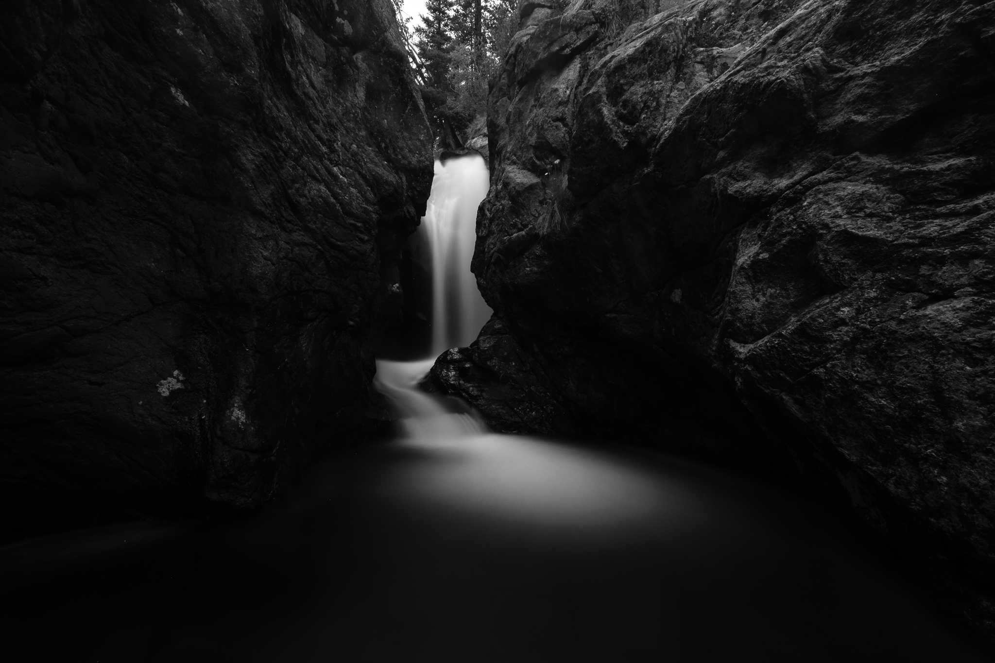
To my knowledge as of writing, Chasm Falls is the only named falls along Old Fall River Road and it’s a popular one. Once parked at the trail head and a short hike down some stairs, this magnificent creation of time and nature appears like it was hidden from view on purpose. During peak run-off times, this falls roars with the volume of water tumbling over, and that water is cold! The color image is how I have always wanted to capture this waterfall and I had to hike to it when OFRR was not open to vehicle traffic in early July 2026.
From about the first mile marker on Old Fall River Road to about the 7-8 mile marker, there are so many small unnamed water features that are hidden just off the road and even some that are a short hike. There are so many, that I would not hesitate nicknaming it The Waterfall Corridor. In no way am I saying that all of these are must visits as most have a degree of danger either due to terrain or risk of animal encounters. Also, the plant species and animal migration paths would be devastated by the amount of foot traffic of “looky-loos”. So let one person sticking to already known and tracked areas get these spectacular images for you.
The Un-named falls of OFRR
This falls is actually visible from the road. You will encounter a half moon curve with a retaining wall descending down and the falls will be just across from it. During peak flows, this area is much harder to access, often impossible. Many flowers will dot this area in the early June and July times.
Just up the river is this small falls that forms a natural lounging pool. The surrounding area is heavily forested with a few animal paths going here and there.
This one is off the road a bit with a short hike. It’s not apparent that it exists unless you get close enough to realize that there is a slot canyon just after this.
Note: I’ll be heading back to this one and the following in fall 2026 and early summer 2027 as I feel this image does not do it justice.
Just up stream from the above is something I have always thought of as a faerie falls. The area just seems like one of those places that fae convene and steal people back to their realm. Maybe it should be Fae Falls? This feature is much more accessible, via a pull off on OFRR, then just following a short trail that’s a bit rocky. In the earlier months of June and late May, there are so many flowers and Columbines that grow in this area and next to the falls.
The Falls of Wild Basin
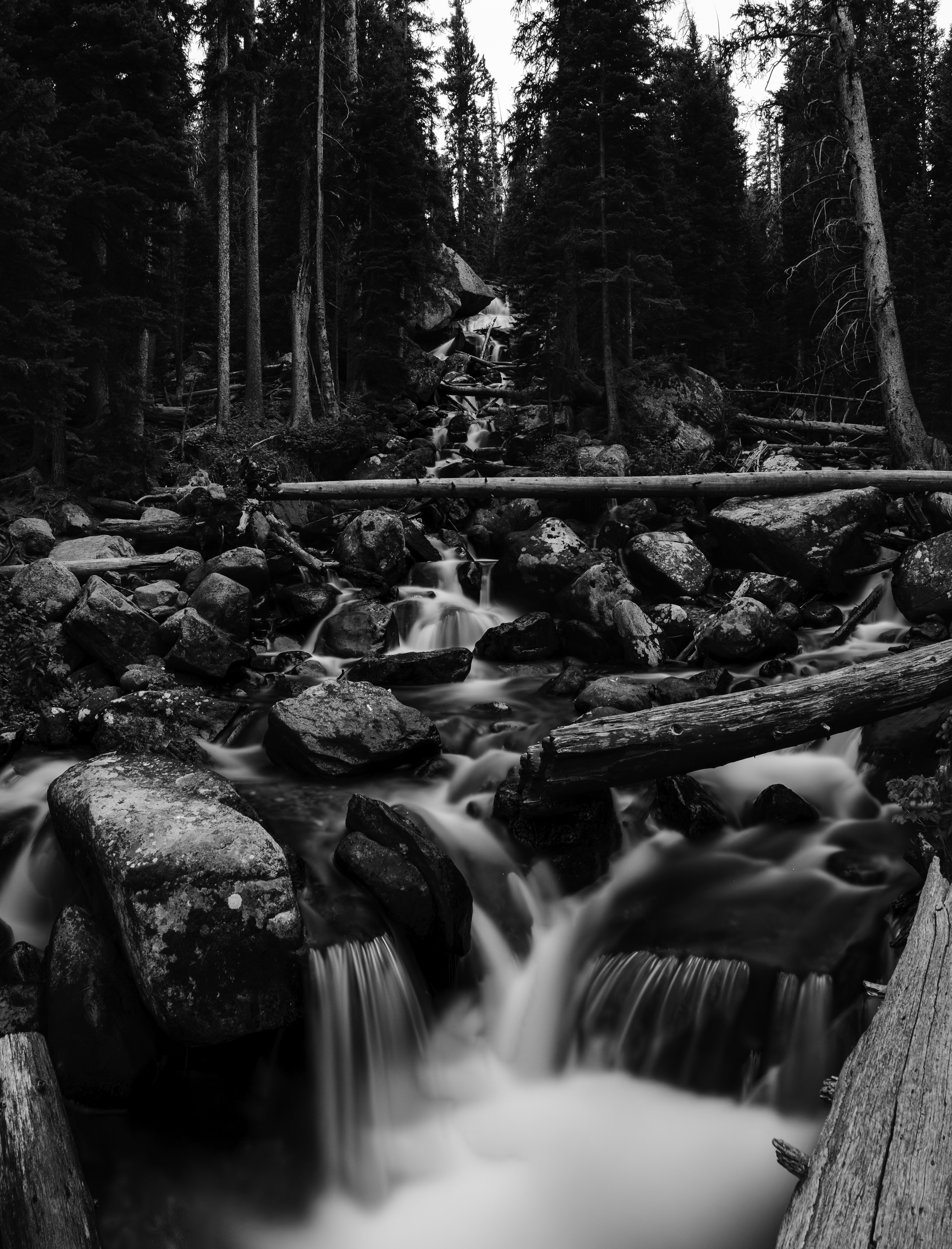
Wild Basin is more than just the southern side of Rocky Mountain National Park, it’s an ecosystem that is completely different from the highly visited northern sections of the park. Taking one step off the trailhead and one could confuse the environment with some areas of the pacific northwest, lush plants and towering pines with numerous deciduous species. Personally, I would say Wild Basin holds some of the best waterfalls in Rocky, and let me show you why below.
Copeland Falls
Lower Copeland Falls is by far the easiest falls to see within Wild Basin. The Lower section of this falls roars amongst the tall trees over a massive boulder, creating a massive pool. During peak flows, its easy to be swept away in the main current.
I have to give my thanks to Lower Copeland Falls as this was one of my turning points in life that helped me go “yup, that’s the thing I like doing.” After reviving my camera setup, this was a test and tune falls that I trained myself on how to properly photograph moving water.
Upper Copeland Falls is as easy to access and is just as grand as Lower Copeland. Tip: Follow the Copeland Falls trail instead of the main trail to see more of the whole Copeland Falls System and possibly a moose.
Following the trail and river upstream will lead to a bridge, once crossed, will take you up hill toward Calypso Cascades. That bridge crosses this amazing confluence of two rivers that feeds Copeland Falls and to my knowledge, has no name.
Unnamed Confluence
Calypso Cascades
Calypso Cascades is a diverse set of cascading falls that have numerous paths to them, ultimately creating a wonderland of tributaries that each have their own world. To explore each of these paths is to forsake the world around you and travel far beyond. Careful which path you take, for it may lead to lands yet discovered.
Ouzel Falls
Ouzel Falls feels like the most mighty falls that is in Wild Basin. Located just off trail from where the bridge crosses Ouzel Creek, getting to some of the best vantage points requires a bit of scrambling. If there is any falls you aim to see, it’s this one.